- The Great Cornwall Guide
- Destinations
- Things to do
- Beach Guide
- Food & Drink
- Properties
- Journal
- Golden Lobster Reviews
- Destinations
Walks around Rock, Cornwall, are simply stunning. Situated on the Camel Estuary, ramblers can easily join the South West Coast Path at the Rock Quarry Car Park providing a plethora of walking opportunities.
Whether you’re after an uphill coastal stomp, or a gentle meander on the flat, here we round up our five of our favourite walks in Rock, Cornwall.
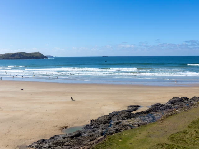
There are also spectacular Rock walks across the sand (please check tide times) or via the coastal path to Daymer Bay and Polzeath. Follows the dunes from Rock to Daymer Bay, which is around 1.4 miles from Rock, along to Trebetherick Point where you’ll see unusual striped rocks coloured purple and green and the remains of shipwrecks.
The walk joins The Greenaway path to popular beach Polzeath (3 miles from Rock), passing some small coves Broadagogue Cove and Hayle Bay along the way. The return route is inland, following the stream up the valley from Polzeath, crossing golf courses and fields to reach St Enodoc Church and finally back in Rock via the dunes. This walk from Rock is just under 6 miles in total.
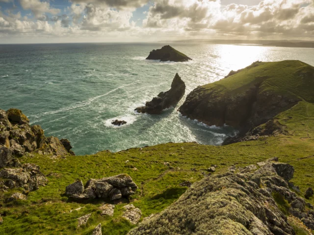
View of The Rumps at Pentire, Cornwall. ©National Trust Images Chris Lacey
The Rumps is a truly stunning example of the dramatic north coast and one of Cornwall’s most impressive cliff castles. Around 6 miles away, this walk from Rock provides spectacular views out over Padstow Bay. Keep your eyes peeled for seabirds such as puffins and gannets, an Iron Age promontory fort, some Bronze Age burial mounds, plus a rocky archway to a collapsed sea cave.
The coast path can be narrow and stony in places, and depending on the weather it can be a bit rough around the exposed headland. You can make this walk shorter by starting at Polzeath or from Pentire Farm car park.
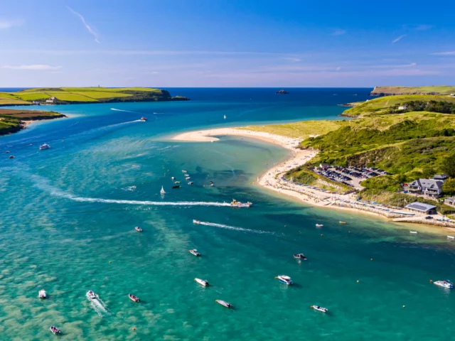
Or try a circular walk from Rock to St Minver, perfect for beer aficionados. You will pass two churches, three pubs and Sharp’s Brewery along the way. The distance is just under seven miles, so it can take some time and energy.
The inland section of the Camel Estuary is part of Cornwall’s Area of Natural Beauty. A delight for bird lovers, the area is home to many wading birds with their distinctive long bills used for foraging. You can also explore the trail by bike if you prefer life on two wheels.
The route begins by following the dunes from Rock to Daymer Bay, opposite the Doom Bar. Walkers will then passes St Enodoc Church, the burial place of Sir John Betjeman, then make your way inland to the pretty village of St Minver, and back to Rock.
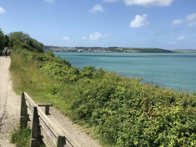
Predominantly known as a cycle route, the famous Camel Trail, is a ‘car-free’ route which extends for 17 miles from Bodmin to Padstow passing through stunning scenery, and the areas of Wadebridge, Bodmin and Blisland, which is a fabulous gentle walking route.
Reaching the trail from Rock, the best option is to hop on the Black Tor Rock Ferry to Padstow. This pedestrian ferry runs every 20 minutes taking around 5-10 minutes, much more efficient than the 30-minute car journey.
The Padstow to Wadebridge section is just over 5 miles long and is fabulously flat , with glorious views across the Camel Estuary and more.
©Shutterstock/ Paul Nash
Another walk near Rock is the popular Stepper Point jaunt from Padstow. Again, it’s best to hop onboard the Black Tor Rock Ferry to Padstow from Rock, and embark on this 5.5 mile route.
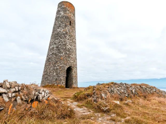
Follow the footpath which is clearly marked, not forgetting to take a moment to appreciate far-reaching views out to Doom Bar, a sandbar at the mouth of the estuary of the River Camel. The stone tower that sits on top of Stepper Point is known as the Daymark, which is certainly a highlight on this Padstow walk. Depending on what time you take on this stroll, if the tide’s out you can walk along the sandy beach at certain points. This gentle route provides pretty coastal scenery without having to climb great heights.
Fall in love with our collection of luxury self-catering accommodation in Rock. Book your self-catering cottage with us for a Cornish holiday full of special memories.
Categories: Cornwall Walks